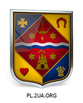
Poltava Oblast is located in the north-eastern part of central Ukraine. The territory of the Poltava Oblast is lies within the East European Plain, the average height of the area is 100 meters above the sea level, south-eastern boundary of the region runs along the banks of the Dnieper River. An important component of the Poltava Oblast economy is the oil and gas sector, there are 26 oil and 64 gas deposits in the region, the total reserves of natural gas in the Poltava Oblast is up to 30% of total reserves of gas in Ukraine. Large enterprises of metallurgical complex, mechanical engineering, chemical and petrochemical industries operate in Poltava Oblast. Flat terrain and a good supply of water contribute to the development of agriculture, the dominant role in agricultural sector played by wheat, there are also sugar beet, sunflower, soybean grow in Poltava Oblast.
